
Our Services
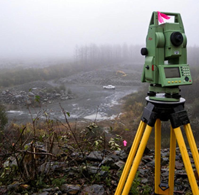
Surveying & Mapping
We provide professional cadastral, boundary, topographic, layout, as-built and route survey services for land development, property documentation, infrastructure planning, engineering design and construction support. We prepare our outputs with attention to legal accuracy, field reliability, CAD/GIS compatibility, and client decision needs.

GIS & Spatial Intelligence
We transform spatial data into actionable intelligence through GIS analysis, database development, digital mapping, asset enumeration, terrain modelling, location intelligence and geospatial visualisation. Our GIS services help organisations see patterns, manage assets, monitor change and make better operational decisions.
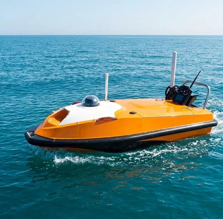
Hydrographic Surveying
We deliver bathymetric and hydrographic survey support for waterfronts, lagoons, ports, dredging projects, marine infrastructure, shoreline planning and environmental studies. Our experience includes data processing, chart preparation, depth modelling and bathymetric outputs using tools such as CAD, ArcGIS Pro, Surfer and Excel.
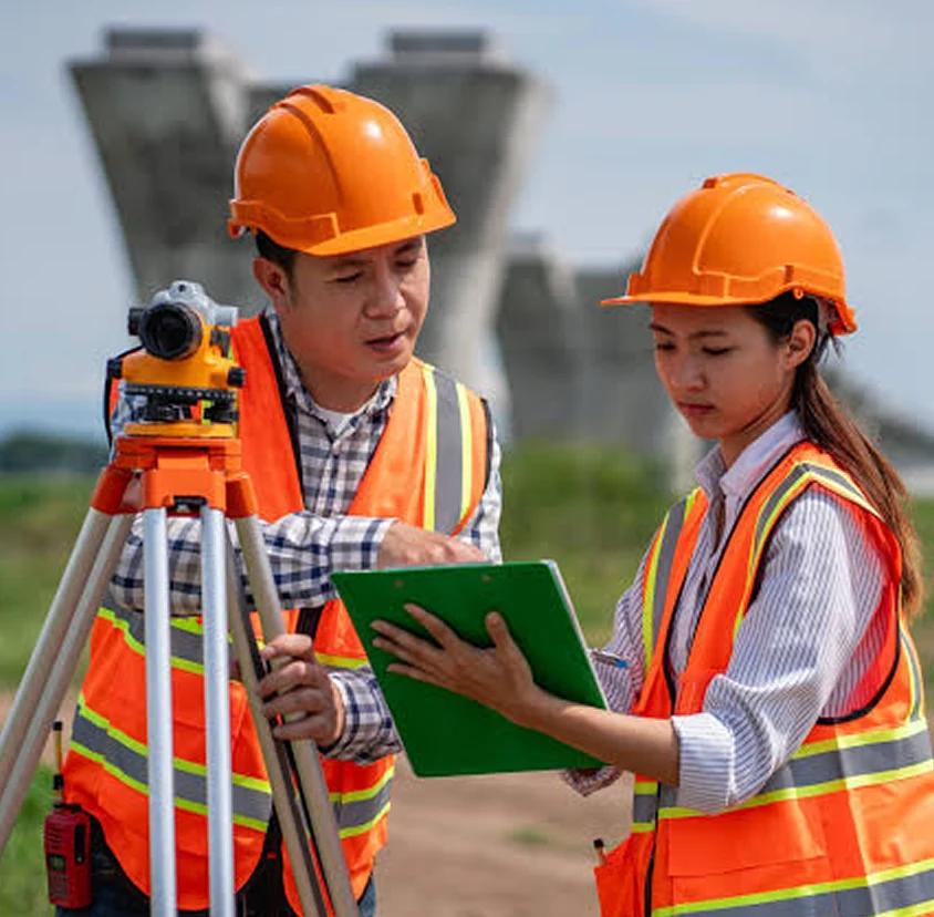
Engineering & Construction Support
We support engineering and construction projects with survey control, alignment checks, setting-out, deformation/level monitoring, route surveys, earthwork information, as-built documentation and quality-controlled geospatial deliverables. We aim to keep projects correctly positioned from design through completion.

Precision Agriculture Solutions
We support modern agriculture with positioning, mapping, machine control, and precision farming solutions that help improve field productivity, reduce operational inefficiencies, and support data-driven farm management. Our expertise covers agricultural mapping, GNSS guidance, auto-steering solutions, land levelling support and field personnel training.
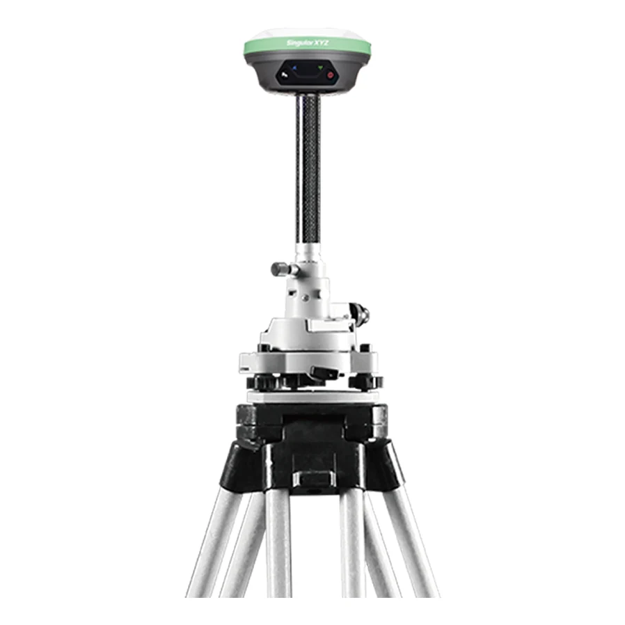
GNSS & Positioning Technologies
Through direct industry experience and OEM partnerships, we advise, supply, and support GNSS and positioning technologies for surveying, construction, agriculture, GIS, monitoring, and infrastructure applications. We help clients select the right technology, deploy it correctly and build user capacity for sustained performance.
Geospatial Consultancy
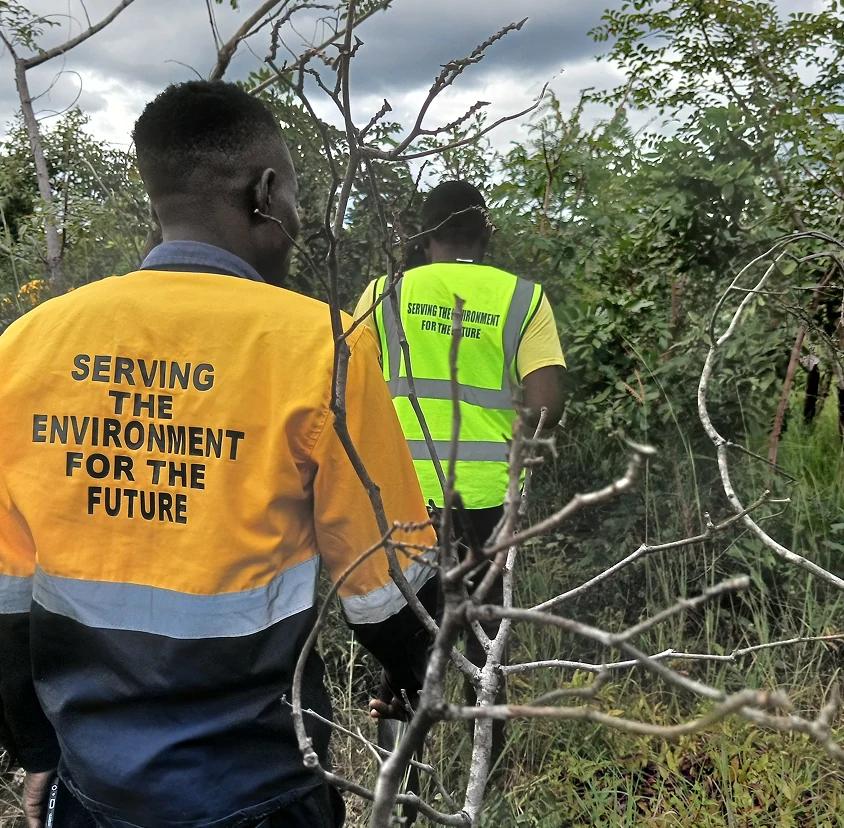
We provide technical advisory and project consulting services for organisations requiring geospatial planning, project scoping, tender documentation, method statements, QA/QC planning, technical evaluation, data strategy, geospatial workflows and implementation support.
Equipment Supply & Technical Support
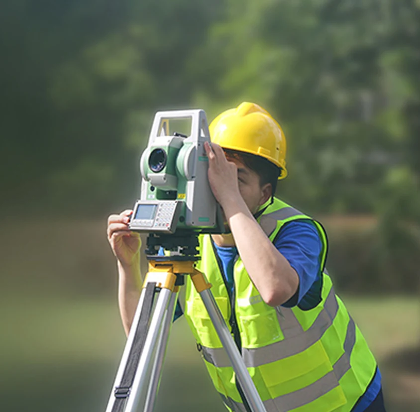
We support clients beyond procurement by providing equipment selection guidance, supply coordination, installation, configuration, testing, training and after-sales support. Our objective is to ensure that every technology supplied can be used effectively in real project conditions.

Capacity Development & Training
We believe technology only delivers value when people know how to use it. Arkelon Nexus Limited provides practical training, knowledge transfer and hands-on capacity development for survey teams, engineers, GIS personnel, equipment users, farm operators and institutional stakeholders.